BrowseBrowse by Category
Browse by Category


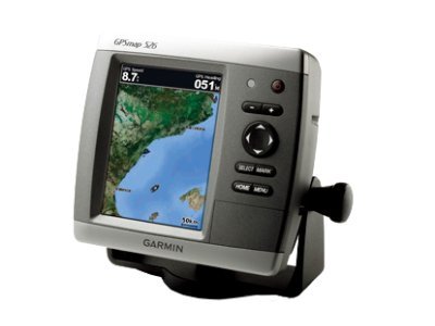
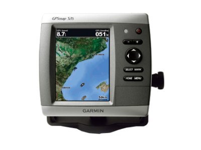
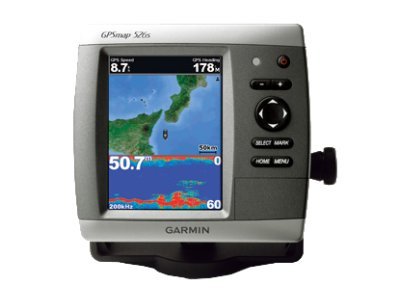
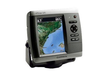
GPS chartplotter - marine 5 in
| Main Specifications | |
|---|---|
| Product Description | Garmin GPSMAP 526s - GPS chartplotter |
| Product Type | GPS chartplotter |
| Display | 5" color - 480 x 640 pixels |
| Recommended Use | Marine |
| Interface | NMEA 0183, NMEA 2000 |
| Included Software | Garmin Worldwide Marine Basemap |
| Card Reader | SD Memory Card |
| Protection | Waterproof |
| Included Accessories | Protective cover, mounting bracket, power/data cable |
| Dimensions (WxDxH) | 5.9 in x 2.9 in x 6.4 in |
| Weight | 1.76 lbs |
| General | |
| Product Type | GPS chartplotter |
| Recommended Use | Marine |
| Card Reader | SD Memory Card |
| Interface | NMEA 0183, NMEA 2000 |
| Included Software | Garmin Worldwide Marine Basemap |
| Compatible Software | BlueChart g2 Vision |
| Antenna | Built-in |
| Features | Alarm, 2D / 3D map perspective, XM Satellite Radio support, XM weather support |
| Miscellaneous | |
| Protection | Waterproof |
| Waterproof Standard | IPX7 |
| Included Accessories | Protective cover, mounting bracket, power/data cable |
| Display | |
| Type | LCD - color |
| Diagonal Size | 5" |
| Display Resolution | 480 x 640 pixels |
| Features | Anti-glare |
| Connections | |
| Interfaces | Antenna - BNC |
| Dimensions & Weight | |
| Width | 5.9 in |
| Depth | 2.9 in |
| Height | 6.4 in |
| Weight | 1.76 lbs |
| Navigation | |
| Waypoints | 3000 |
| Tracks | 50 |
| Tracklog Points | 20000 |
| Routes | 100 |
| Trip Computer | Sun/moon positions |