BrowseBrowse by Category
Browse by Category
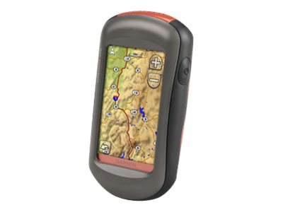
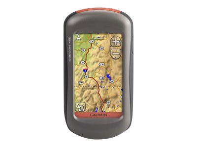
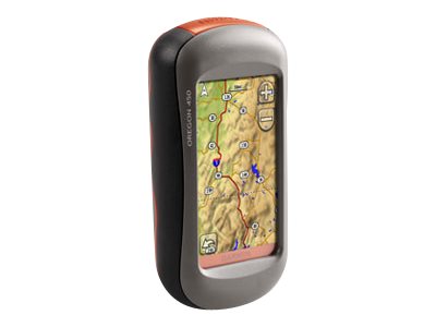
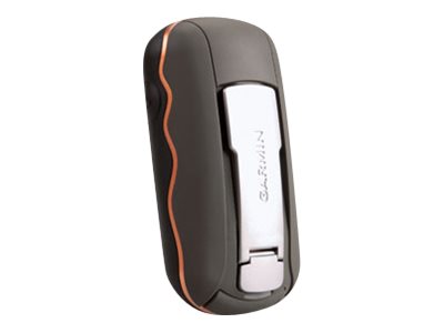
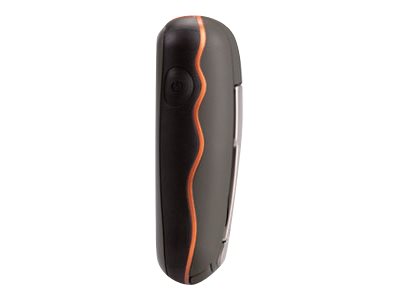
GPS navigator - hiking 3 in
| Main Specifications | |
|---|---|
| Product Description | Garmin Oregon 450 - GPS navigator |
| Product Type | GPS navigator |
| Display | 3" color - 240 x 400 pixels |
| Input | Touch sensitive screen |
| Recommended Use | Hiking |
| Interface | USB 2.0, NMEA 0183 |
| Internal Memory | 850 MB |
| SBAS | WAAS |
| Features | Digital compass, altimeter |
| Included Software | Tide Tab |
| Card Reader | microSD |
| Protection | Waterproof |
| Included Accessories | Belt clip, USB cable |
| Dimensions (WxDxH) | 2.3 in x 1.4 in x 4.5 in |
| Weight | 6.81 oz |
| General | |
| Product Type | GPS navigator |
| Recommended Use | Hiking |
| Card Reader | microSD |
| Interface | USB 2.0, NMEA 0183 |
| Included Software | Tide Tab |
| Compatible Software | Garmin CityXplorer, MapSource US TOPO 24K, MapSource US TOPO, MapSource City Navigator, MapSource BlueChart g2 |
| SBAS | WAAS |
| Antenna | Built-in |
| Internal Memory | 850 MB |
| Features | Games, 2D / 3D map perspective, photo viewer, custom POIs, automatic routing, hunt/fish calendar, Garmin HotFix, digital compass, altimeter |
| Miscellaneous | |
| Protection | Waterproof |
| Waterproof Standard | IPX7 |
| Included Accessories | Belt clip, USB cable |
| Battery | |
| Type | AA type |
| Required Qty | 2 |
| Run Time (Up To) | 16 hours |
| Display | |
| Type | TFT - color - touch sensitive screen |
| Diagonal Size | 3" |
| Display Resolution | 240 x 400 pixels |
| Connections | |
| Interfaces | USB |
| Dimensions & Weight | |
| Width | 2.3 in |
| Depth | 1.4 in |
| Height | 4.5 in |
| Weight | 6.81 oz |
| Navigation | |
| Waypoints | 2000 |
| Tracks | 200 |
| Tracklog Points | 10000 |
| Routes | 200 |